
****
|
|
|
|
**** | |
| Google Maps w/ Street view | Street maps and Aerial Photos |
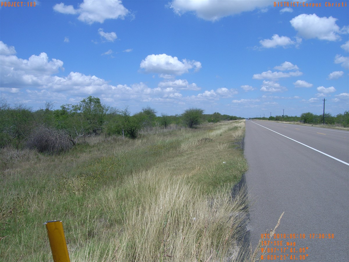
| Photograph Specific Information | |
| Location (Latitude) | 28.361639 |
| Location (Longitude) | -97.294736 |
| Location (P,X,Y) | 4204 2516940 13319435 |
| Location (X) | 2516940 |
| Location (Y) | 13319435 |
| Datum | US State Plane NAD 83 Texas South Central ft (4204) |
| Elevation | 20 ft |
| Direction | 161.5° |
| Time | 05/10/2018 12:30:58 PM |
| Original File | R0000467.jpg |