
****
|
|
|
|
**** | |
| Google Maps w/ Street view | Street maps and Aerial Photos |
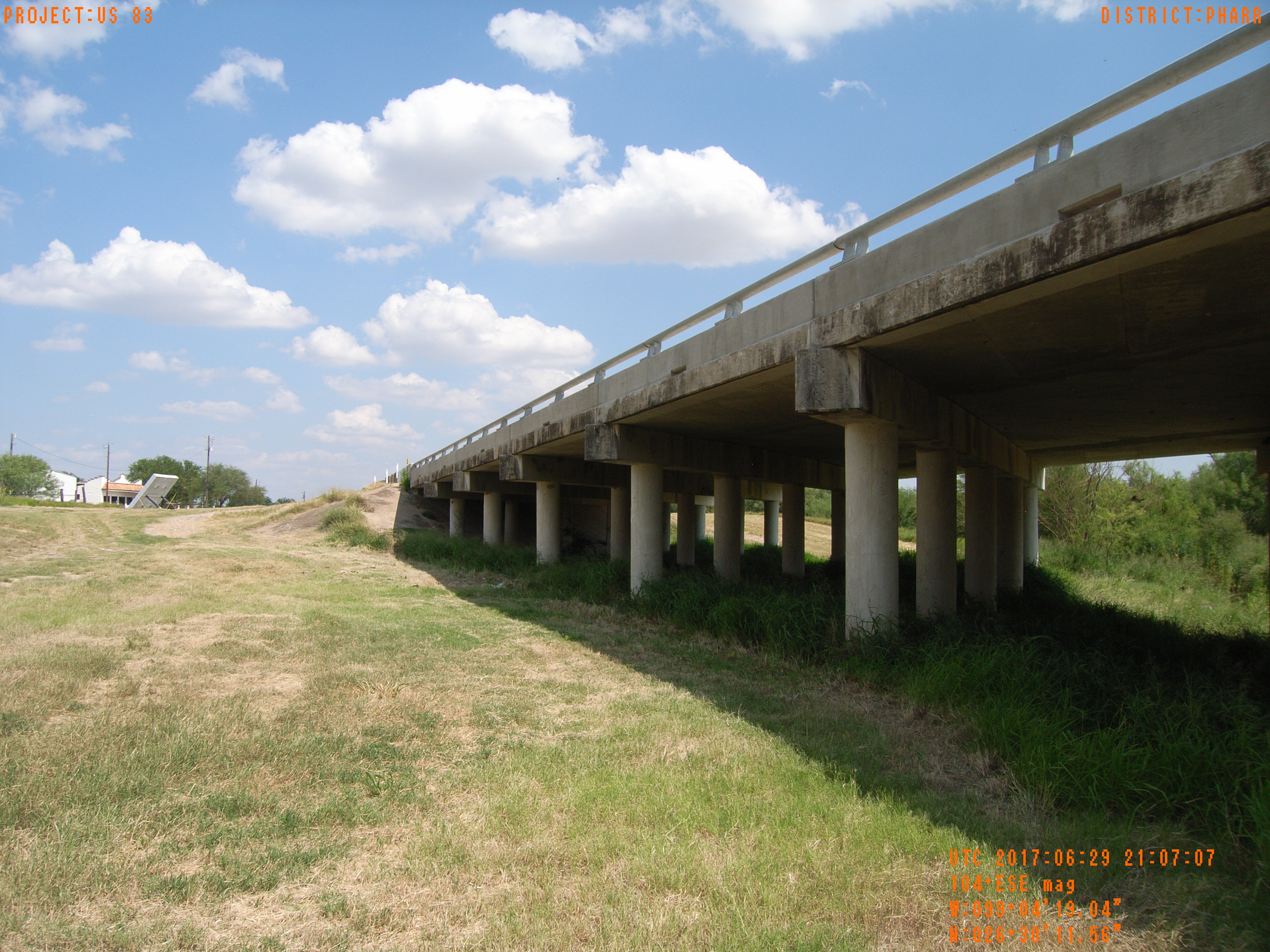
| Photograph Specific Information | |
| Location (Latitude) | 26.503211 |
| Location (Longitude) | -99.071956 |
| Location (P,X,Y) | 4205 797201 16708668 |
| Location (X) | 797201 |
| Location (Y) | 16708668 |
| Datum | US State Plane NAD 83 Texas South ft (4205) |
| Elevation | 243 ft |
| Direction | 93.0° |
| Time | 06/29/2017 4:07:07 PM |
| Original File | R0000066.JPG |