
****
|
|
|
|
**** | |
| Google Maps w/ Street view | Street maps and Aerial Photos |
| Photograph Specific Information | |
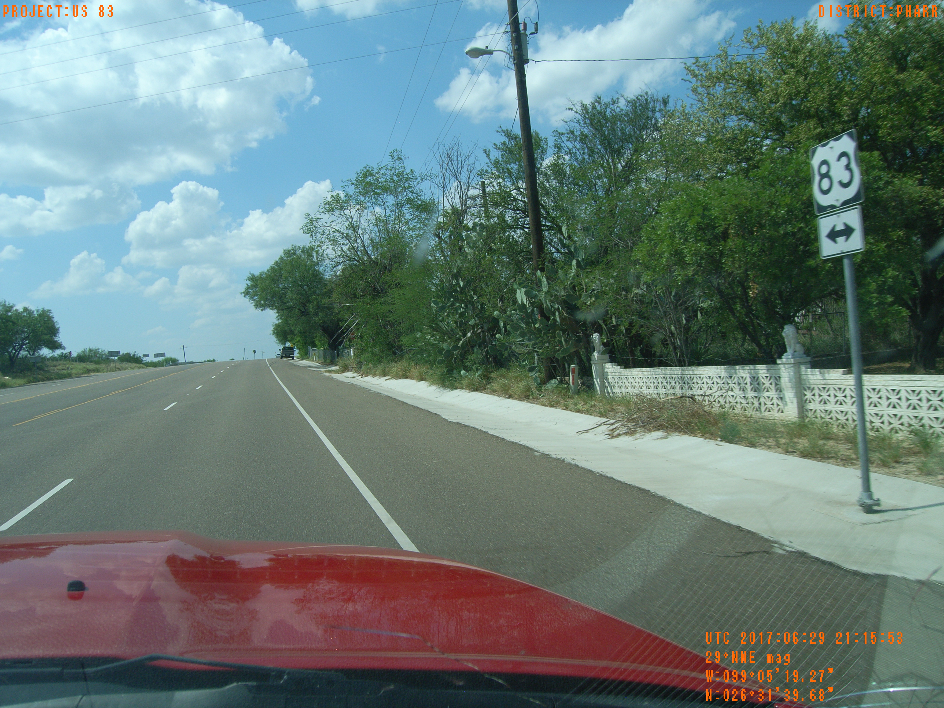
| Location (Latitude) | 26.528550 |
| Location (Longitude) | -99.088958 |
| Location (P,X,Y) | 4205 791683 16717904 |
| Location (X) | 791683 |
| Location (Y) | 16717904 |
| Datum | US State Plane NAD 83 Texas South ft (4205) |
| Elevation | 354 ft |
| Direction | 40.2° |
| Time | 06/29/2017 4:15:57 PM |
| Original File | R0000096.JPG |