****
|
|
|
|
**** | |
| Google Maps w/ Street view | Street maps and Aerial Photos |
| Photograph Specific Information | |
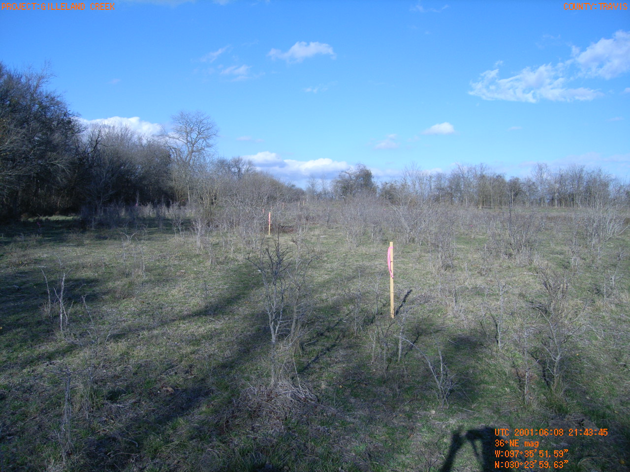
| Location (Latitude) | 30.399897 |
| Location (Longitude) | -97.597664 |
| Location (P,X,Y) | 4203 3158939 10119781 |
| Location (X) | 3158939 |
| Location (Y) | 10119781 |
| Datum | US State Plane NAD 83 Texas Central ft (4203) |
| Elevation | 554 ft |
| Direction | 41.7° |
| Time | 06/08/2001 3:43:45 PM |
| Original File | R0000134.JPG |