
****
|
|
|
|
**** | |
| Google Maps w/ Street view | Street maps and Aerial Photos |
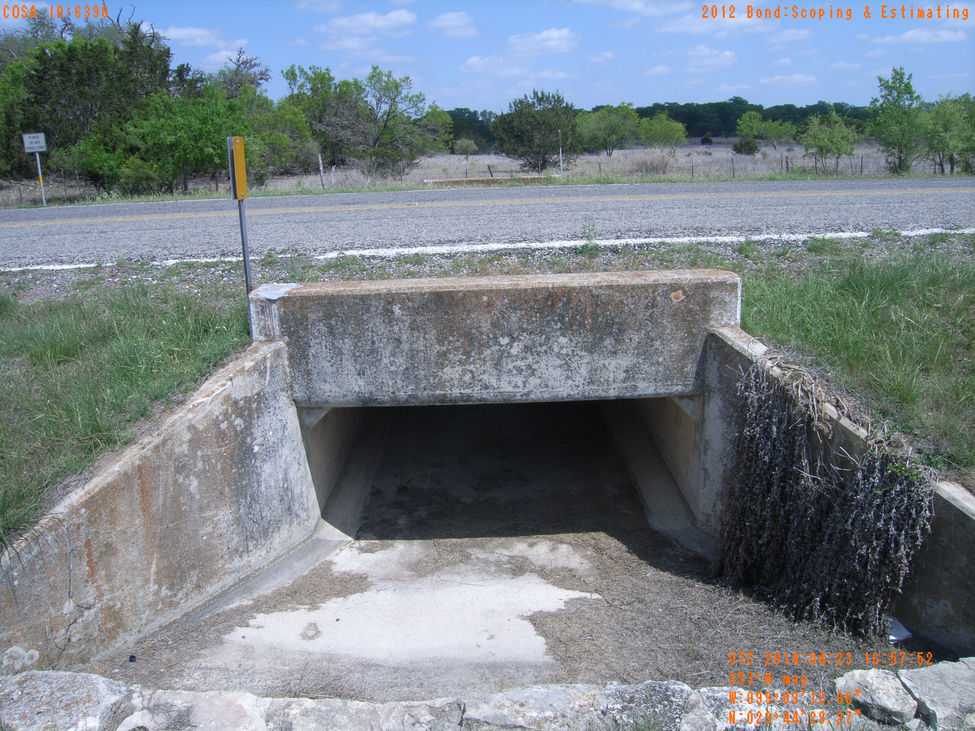
| Photograph Specific Information | |
| Location (Latitude) | 29.741464 |
| Location (Longitude) | -99.153600 |
| Location (P,X,Y) | 4204 1919757 13817173 |
| Location (X) | 1919757 |
| Location (Y) | 13817173 |
| Datum | US State Plane NAD 83 Texas South Central ft (4204) |
| Elevation | 1355 ft |
| Direction | 358.6° |
| Time | 04/23/2014 11:57:52 AM |
| Original File | R0000072.JPG |