
****
|
|
|
|
**** | |
| Google Maps w/ Street view | Street maps and Aerial Photos |
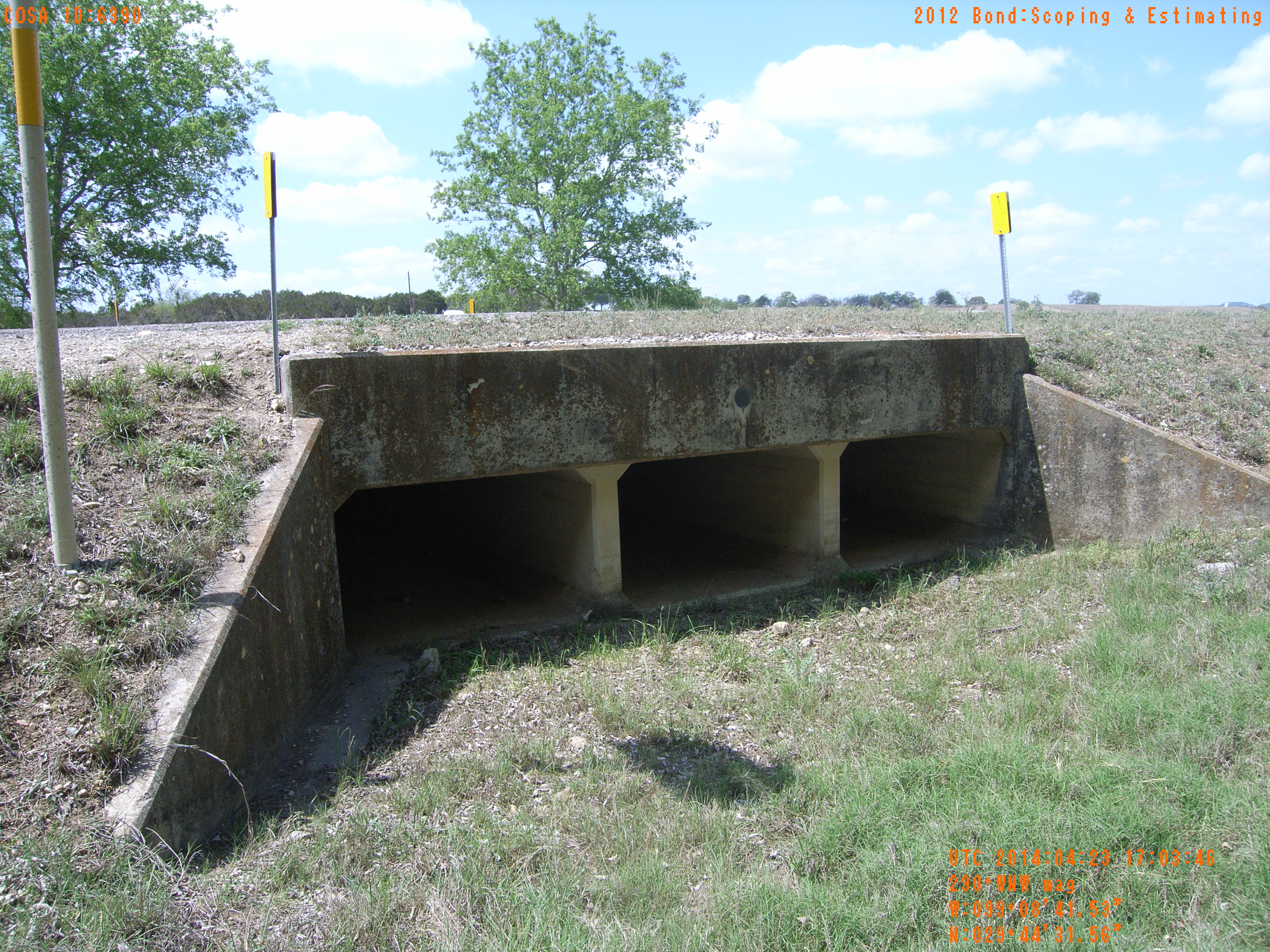
| Photograph Specific Information | |
| Location (Latitude) | 29.742100 |
| Location (Longitude) | -99.144869 |
| Location (P,X,Y) | 4204 1922528 13817400 |
| Location (X) | 1922528 |
| Location (Y) | 13817400 |
| Datum | US State Plane NAD 83 Texas South Central ft (4204) |
| Elevation | 1322 ft |
| Direction | 296.2° |
| Time | 04/23/2014 12:03:45 PM |
| Original File | R0000085.JPG |