
****
|
|
|
|
**** | |
| Google Maps w/ Street view | Street maps and Aerial Photos |
| Photograph Specific Information | |
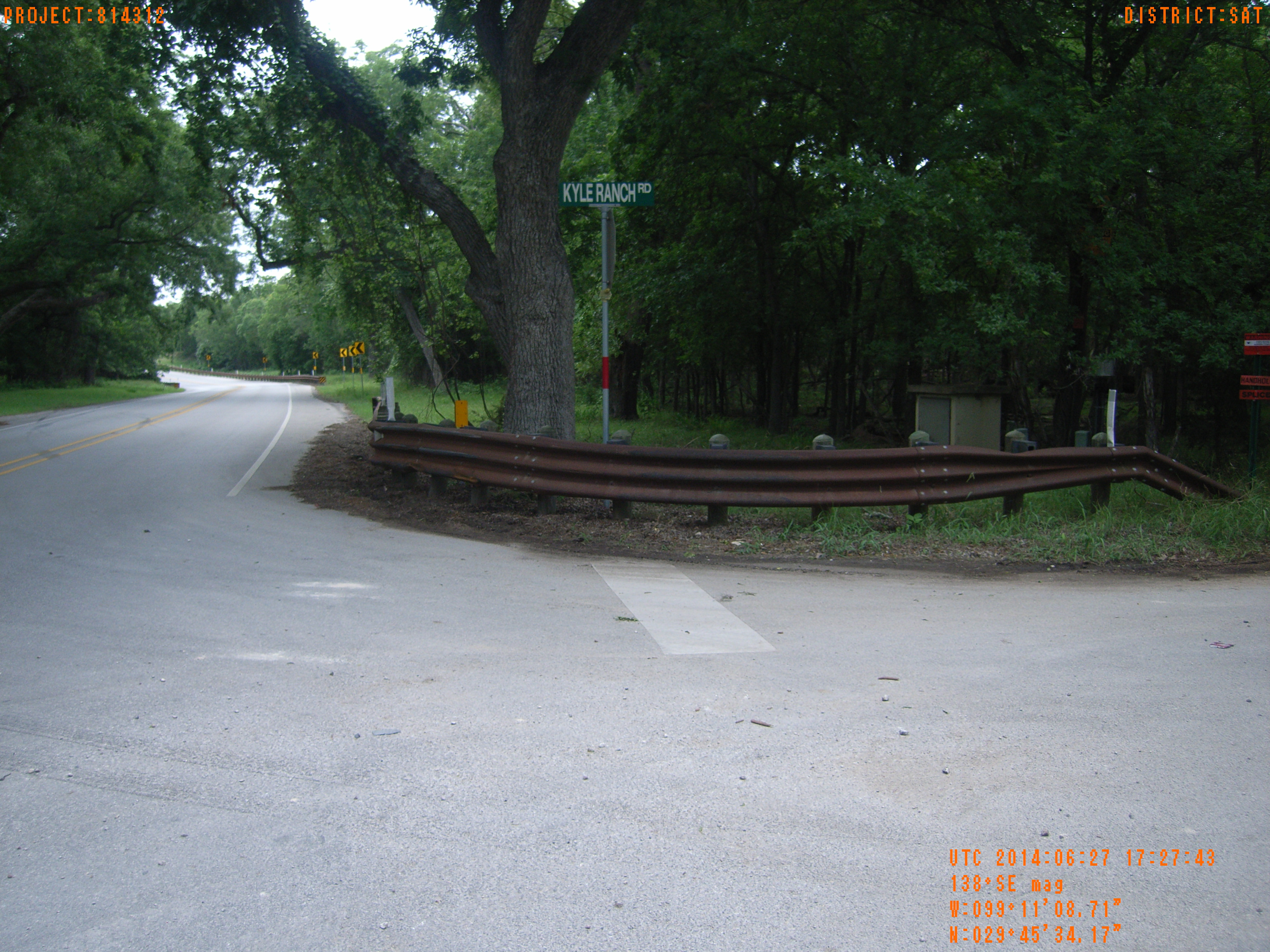
| Location (Latitude) | 29.759492 |
| Location (Longitude) | -99.185753 |
| Location (P,X,Y) | 4204 1909564 13823743 |
| Location (X) | 1909564 |
| Location (Y) | 13823743 |
| Datum | US State Plane NAD 83 Texas South Central ft (4204) |
| Elevation | 1365 ft |
| Direction | 144.1° |
| Time | 06/27/2014 12:27:42 PM |
| Original File | R0000225.JPG |